.....
About
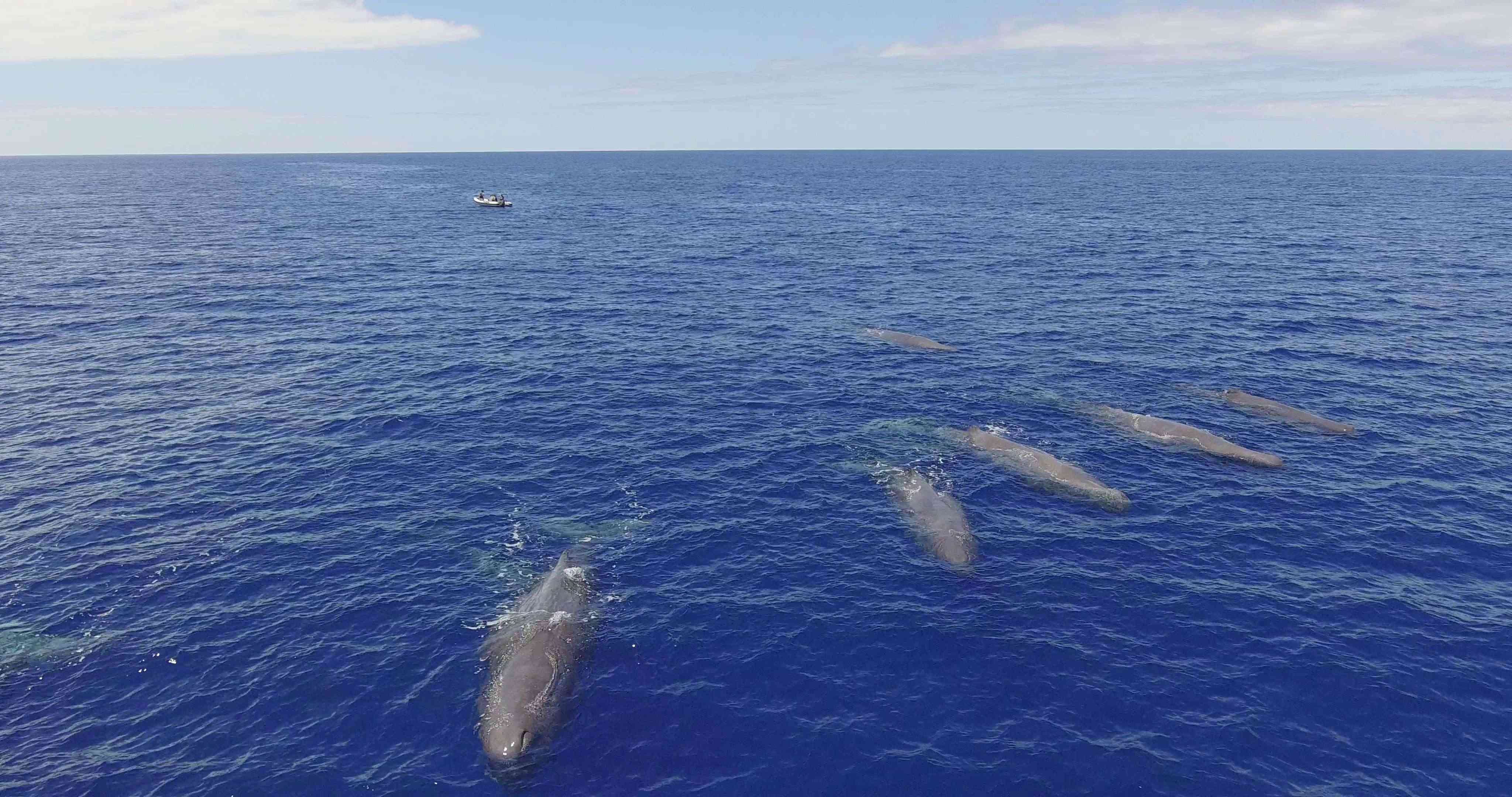
Satellite tags enable reconstructing the movements of animals using a satellite network. We are deploying satellite tags on sperm whales to better understand their movements and behaviour around the Azores and across the North Atlantic, identify risk areas from shipping and other human activities, and infer possible impacts from climate change and human-driven degradation of their habitat conditions.
This work is supported by an FCT-Investigator contract (IF/00943/2013) awarded to Mónica A. Silva, and a tender contract from LIFE IP Azores Natura Project (LIFE17 IPE/PT/00010), coordinated by the Regional Secretariat for the Environment and Climate Change, Regional Government of the Azores.
In the maps below, choose single animals by clicking on the corresponding icon in the right-hand side menu or over the track. Blinking icons correspond to tracks with positions received in the last 24 hours. The tracks are based on raw data and can have some artefacts from erroneous position estimates. The maps are optimized for wide-screen display.
2018
2023-2024
Ethics
All work involving cetaceans is developed under licenses issued by the Regional Government of the Azores, and follow strict protocols to ensure good animal welfare practices according to the principles of the Directive 2010/63/EU on the protection of animals used for scientific purposes.